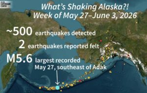
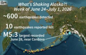
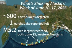


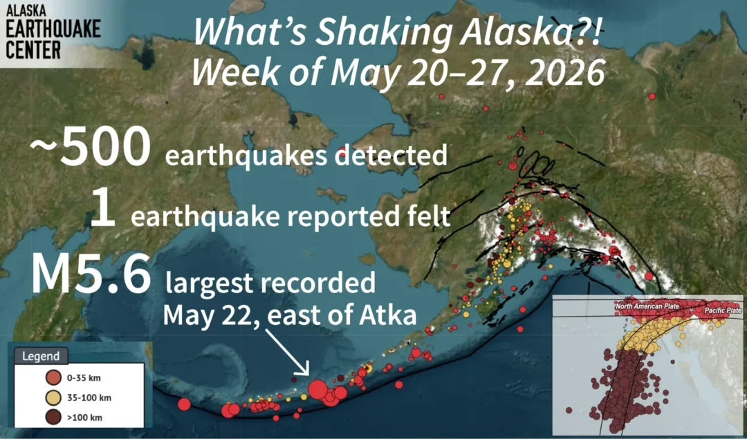
The Alaska Earthquake Center reported approximately 500 earthquakes across the state during the week ending May 27, offering another reminder of the powerful tectonic forces shaping Alaska’s landscape.
According to the center, the largest earthquake recorded during the week was a magnitude 5.6 event that occurred east of Atka on May 20. One earthquake was also reported as felt by residents.
Alaska’s southern coastline and the Aleutian Islands sit along one of the world’s longest and most active subduction zones. These regions experience frequent seismic activity because of the ongoing movement of tectonic plates beneath the Earth’s surface.
A subduction zone forms when a denser oceanic plate gradually moves beneath another tectonic plate and sinks into the Earth’s mantle. This process creates enormous pressure over time. When that pressure is released, earthquakes occur. Subduction zones are responsible for some of the strongest earthquakes on Earth and also play a major role in generating magma that feeds volcanic activity.
Because these geological processes take place deep underground and beneath the ocean floor, scientists cannot observe them directly. Instead, they study earthquake patterns to better understand how tectonic plates move below the surface. The location and depth of earthquakes help researchers map the path of a descending plate as it travels into the mantle.
This week, the Alaska Earthquake Center highlighted earthquake depths in its seismic summary to illustrate how these underground events reveal the structure and movement of the subducting plate.
Residents interested in monitoring earthquake activity across Alaska can explore the Alaska Earthquake Center’s interactive mapping tools for real-time seismic information.