How Earthquakes Get Their Name(s)
Welcome to this week’s seismic update from the Alaska Earthquake Center, where ground shaking is monitored 24/7.
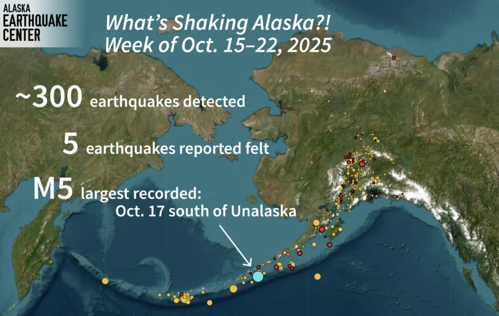
Over the past week, about 300 earthquakes were recorded across the state. Five of them were reported as felt by residents. The largest quake, which had a magnitude of 5, occurred south of Unalaska on October 17.
This week also marks the anniversary of a powerful earthquake in Alaska’s Panhandle. It’s been called by several names: the 1927 Pelican earthquake, the 1927 earthquake west of Chichagof Island, and even the Sitka earthquake along the Fairweather Fault. Despite the different names and magnitudes, they all describe the same event.
So, how do earthquakes get their names? Usually, they are named using three key details: the magnitude, location, and year. The year helps distinguish between events that happen in the same general area. For example, there have been at least four “Rat Islands earthquakes”, each from a different year. After the islands were renamed back to their original name, Hawadax, some event names were updated as well.
Sometimes, names also change based on how people remember the event. The famous 1964 magnitude 9.2 earthquake has been known by several titles — the Great Alaska Earthquake, the Prince William Sound Earthquake, and the Good Friday Earthquake.
The Alaska Earthquake Center is now working with the U.S. Geological Survey (USGS) to develop a consistent naming system for Alaska’s most significant earthquakes.
News Source: earthquake.alaska.edu


