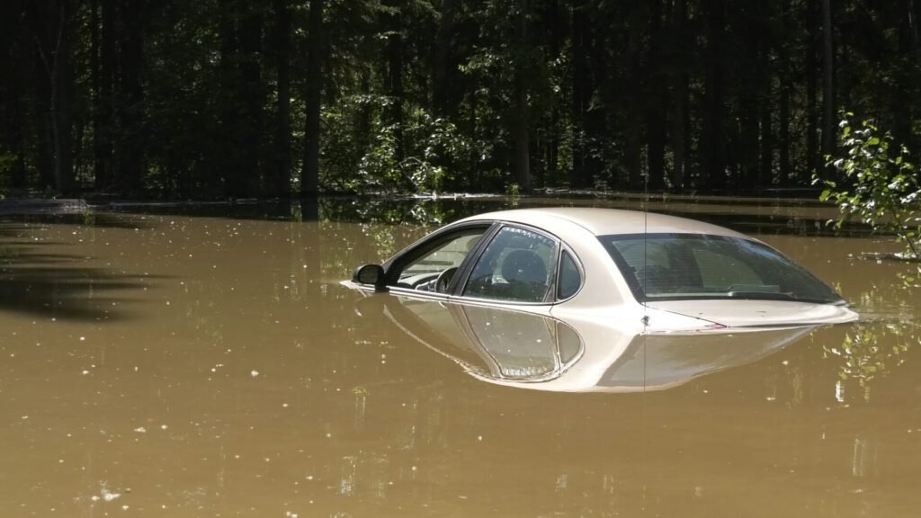
Ben Bartos, a National Weather Service meteorologist, predicts the Tanana River will swell to near flood levels due to persistent summer showers. He expects the river to barely reach the action stage by Sunday evening.
The Chena River’s brief surge to the action stage last week may foreshadow a similar trend for the Tanana River. Currently, the river’s in high water but remains below the action stage.
Continued rainfall through the weekend will push the river to its peak height of approximately 23.5 feet on Sunday. Heavy additional downpour is required for the Tanana or nearby rivers to overflow their banks and reach flood stage.
Historically, late summer floods occur around this time due to a consistent rain pattern. A weather shift brings moisture from the Bering Sea, following the Yukon River into the interior. If the Tanana River floods, residents of the Rosie Creek subdivision will likely be the first affected.
The National Weather Service will continue monitoring the river’s levels and providing updates as necessary. Residents should stay informed and check the NWS website for updates. By doing so, they can ensure their safety and take necessary precautions.
Residents must prepare for potential flooding by securing outdoor items and having a plan. Stay tuned for further updates, and follow evacuation orders if issued. With awareness and preparation, the community can navigate this situation effectively and stay safe.


