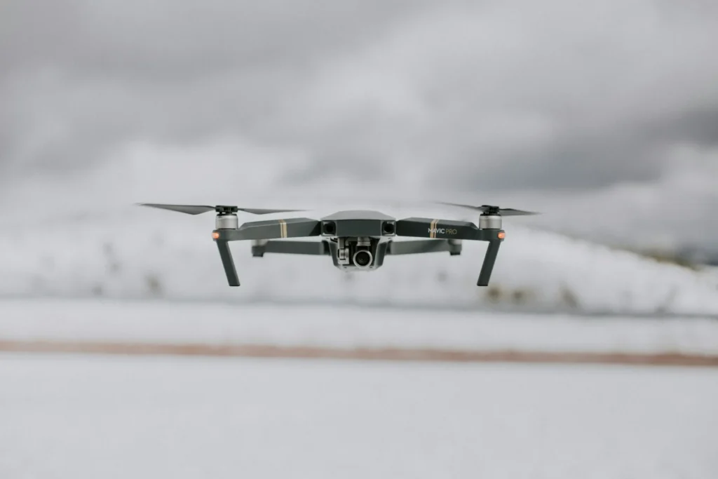
From July 21 to 23, officials launched Mendenhall River flood mapping efforts using drones to prepare for future flooding risks. The Alaska DOT&PF and the City and Borough of Juneau teamed up to survey the Mendenhall River and surrounding areas.
They used aerial drones to capture high-resolution images, aiming to predict where floodwater could potentially cause the most damage. This data collection effort is part of a broader strategy to prepare for the expected 2025 glacial lake outburst flood.
Officials believe drone imagery will help emergency teams act faster and more efficiently if severe flooding hits the Juneau area. By working together, agencies are boosting public safety while proactively improving their emergency response capabilities in flood-prone communities.

