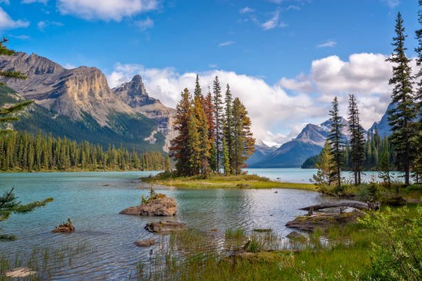
Alaska has a total of Eight national parks, a fact that’s reflected in its impressive number of national parks in Alaska. This staggering count makes Alaska’s national parks a significant part of the country’s protected areas. To answer the question of how many national parks in Alaska, Alaska’s national parks count stands at 8, with each park offering a unique experience. Here’s a list of national parks in Alaska:
- Denali National Park & Preserve
- Gates of the Arctic National Park & Preserve
- Glacier Bay National Park & Preserve
- Katmai National Park & Preserve
- Kenai Fjords National Park
- Kobuk Valley National Park
- Lake Clark National Park & Preserve
- Wrangell-St. Elias National Park & Preserve
Alaska, the largest state in the United States, is home to some of the world’s most breathtaking natural wonders. Planning a visit to Alaska’s national parks is one of the best ways to experience its vast wilderness and diverse landscape.
In this article, you will learn the easiest ways to get there, vehicle access, location, top places to visit, climate, top camping sites, and what to pack to travel to the parks.
Denali National Park
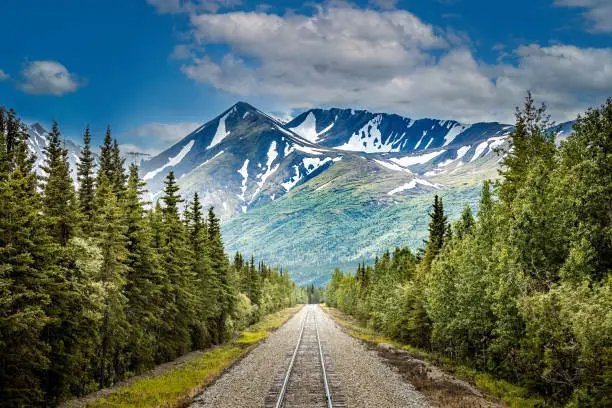
Located in the heart of Alaska’s vast and untouched wilderness, Denali National Park and Preserve is a breathtaking testament to the awe-inspiring power of nature. As the crown jewel of North America’s highest peaks, Denali (formerly Mount McKinley) stands majestically at 20,310 feet, its snow-capped peaks glistening like a beacon of adventure. Spanning a massive 6 million acres, this national park is a haven for wildlife enthusiasts, and those seeking an unparalleled connection with the natural world. The park’s stunning landscapes include glaciers, rivers, and tundras. With its rich heritage and natural beauty, Denali National Park and Preserve is a memorable destination for anyone seeking an unforgettable Alaskan experience.
Location of Denali National Park
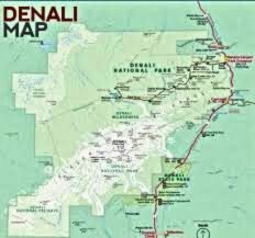
Denali National Park and Preserve is located in Alaska, USA. It is situated in the interior of Alaska, which is accessible from three points
- 240 miles (386 km) north of Anchorage, Alaska’s largest city
- 100 miles (161 km) southwest of Fairbanks, Alaska’s second-largest city
- 12 miles (19 km) east of the town of Healy, Alaska.
Denali Park Span
The park spans across:
| Latitude | 63° 30’ N to 64° 30’ N |
| Longitude | 147° 30’ W to 152° 00’ W |
Denali National Park and Preserve is also accessible by:
- George Parks Highway (Alaska Route 3)
- Denali Park Road (a 92-mile/148 km road that runs east-west through the park)
Keep in mind that the park is vast, and different areas have different access points. Always check with park authorities for up-to-date information on access and road conditions before planning your visit.
Vehicles Access to Denali National Park and Preserve
The following vehicles have access to Denali National Park and Preserve:
- Private Vehicles: Allowed up to Mile 29 on the Denali Park Road.
- Shuttle Buses: The park provides these buses, which travel the entire length of Denali Park Road (92 miles) and offer a narrated tour.
- Authorized Vehicles: Include: Ranger vehicles, Emergency vehicles, Concessionaire vehicles with a special permit
- Bicycles: Allowed on the Denali Park Road and some trails.
- Motorcycles: Allowed on the Denali Park Road, but not on trails.
Restrictions
- No private vehicles beyond Mile 29 (Savage River Bridge)
- No RVs or trailers over 30 feet long
- No vehicles with a gross vehicle weight over 10,000 pounds
Note:
Some areas, like the Wonder Lake Campground, are only accessible by shuttle bus or bike. Before planning your visit, remember to check with park authorities for up-to-date information on vehicle access and road conditions.
Denali National Park and Preserve Climate
Denali National Park and Preserve, located in interior Alaska, experiences a subarctic climate with extreme temperature variations, low humidity, and moderate precipitation. Here’s a breakdown of the climate:
Temperature:
| Summer (June to August) | 40°F to 70°F (4°C to 21°C) |
| Winter (December to January) | -20°F to -50°F (-29°C to -45°C) |
Denali National Park and Preserve Camping Sites

Denali National Park and Preserve offers various camping sites for visitors to immerse themselves in the stunning natural beauty. Here are some camping sites:
- Wonder Lake Campground:
- Igloo Creek Campground:
- Savage River Campground:
- Sanctuary River Campground:
- Teklanika River Campground:
- Back-country Camping:
Kenai Fjords National Park

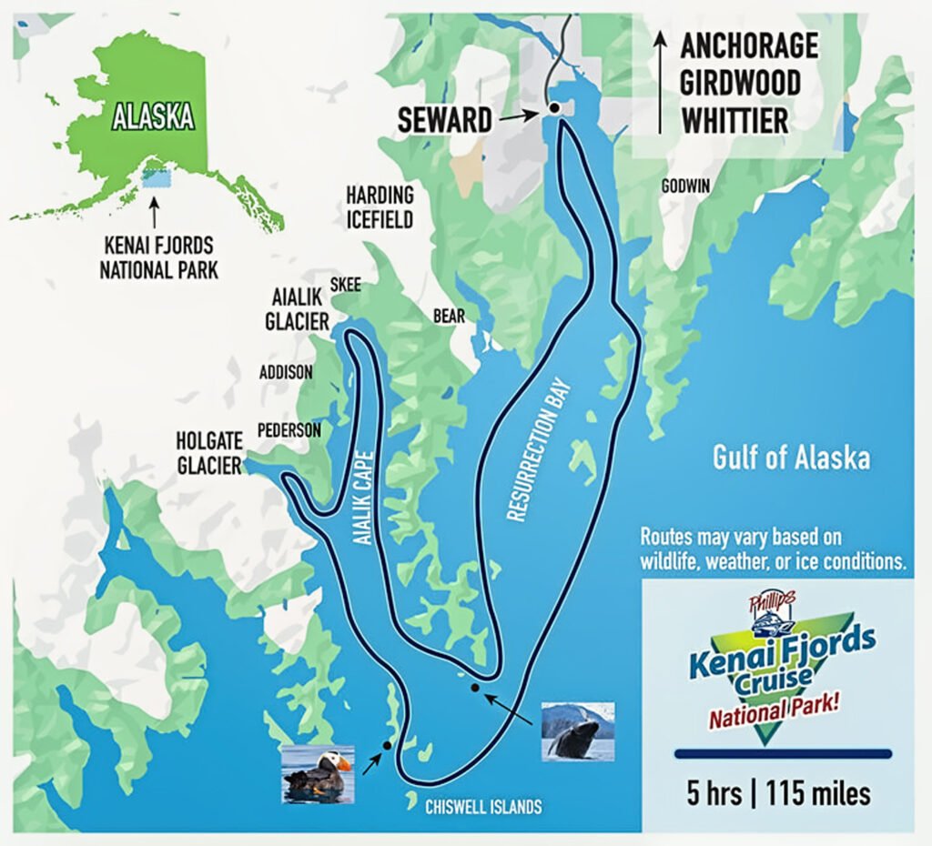
Kenai Fjords National Park, located in southeastern Alaska near the town of Seward, is a stunning coastal park featuring fjords, glaciers, and mountains. The park is home to several glaciers, including the Exit Glacier and the Harding Icefield, and offers breathtaking views of the surrounding landscape. With its abundant wildlife, including whales, sea lions, sea otters, and puffins, Kenai Fjords is a paradise for nature lovers and wildlife enthusiasts. Visitors can explore the park’s hiking trails, ranging from easy day hikes to more challenging multi-day backpacking trips, or take a boat tour to witness the park’s stunning glaciers and fjords up close.
Location of Kenai Fjord National Park
Kenai Fjords National Park is located in southern Alaska, on the Kenai Peninsula. Here are the details:
- Address: 411 Seward Hwy, Seward, AK 99664
- Nearest City: Seward (located 130 miles south of Anchorage)
- Region: South-central Alaska
- Peninsula: Kenai Peninsula
Distance
- Distance From Anchorage:
- 130 miles (193 km) Seward Highway (AK-1) south from Anchorage to Seward
- with a Drive time of 3-4 hours approximately.
- Distance From Fairbanks:
- 360 miles (579 km) Parks Highway (AK-3) south from Fairbanks to Anchorage, then Seward Highway (AK-1) south from Anchorage to Seward with a Drive time of 6-8 hours approximately
Kenai Fjords Park Span
It spans across
| Latitude | 59.55° N |
| Longitude | 149.65° W |
Areas of Kenai Fjords National Park
The park comprises two main areas:
- Exit Glacier/Harding Icefield: This area is accessible from Seward and offers hiking trails, glaciers, and scenic views.
- Kenai Fjords: A marine-based area, accessible by boat or kayak, featuring fjords, glaciers, and wildlife viewing opportunities.
Vehicle Access to Kenai Fjords National Park
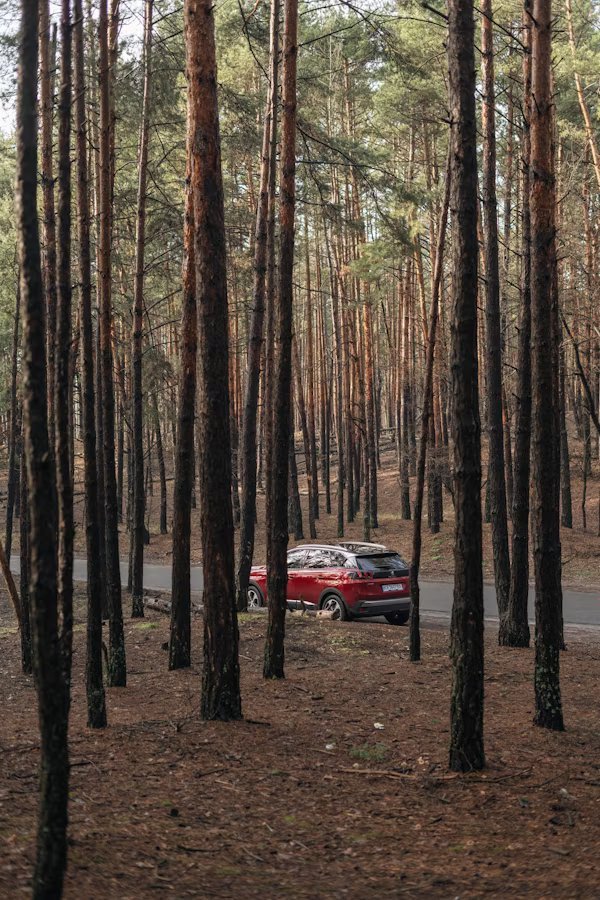
Kenai Fjords National Park has limited vehicle access, but here are some options:
- Exit Glacier/Harding Icefield: Accessible via the Exit Glacier Road (also known as Herman Leirer Road), a 12-mile paved road from Seward.
- Seward: The park’s visitor center and other facilities are accessible by vehicle from Seward via the Seward Highway (AK-1).
However, please note:
- No vehicles are allowed on the Kenai Fjords coastal area or fjords.
- No through road connects Seward to the rest of the park.
To explore the fjords and coastal areas, you’ll need to take a:
- Boat tour: Departing from Seward or other nearby communities.
- Kayak or canoe: Rent or bring your own to explore the fjords by kayaking and canoeing.
Keep in mind:
- Parking: Limited parking is available at the Exit Glacier/Harding Icefield and Seward visitor center.
- Road conditions: Check for updates before heading out, as roads may be closed due to weather or maintenance.
Kenai Fjords National Park Climate
Kenai Fjords National Park, located in southern Alaska, experiences a subarctic oceanic climate, characterized by:
- Cool temperatures: Summer highs around 60°F (15°C), winter lows around 20°F (-7°C)
- High precipitation: Seward receives an average of 65 inches (165 cm) of rainfall per year
- Overcast skies: Cloud cover is common, with an average of 200 cloudy days per year
- Strong winds: Gusts up to 50 mph (80 km/h) in winter, 30 mph (48 km/h) in summer
- Short summer: Only 4-6 weeks of temperatures above 40°F (4°C)
- Long winter: 6-8 months of snow cover, with some areas receiving over 600 inches (1524 cm)
Weather Variations
| Season | Duration | Temperature |
| Summer | June to August | Mild temperatures, and long days (up to 20 hours of daylight) |
| Winter | December to February | Cold temperatures, short days (as low as 4 hours of daylight) |
| Spring | March to May, | Cooling temperatures, and increasing daylight |
| Fall | September to November | Cooling temperatures, and decreasing daylight |
Climate Considerations
- Be prepared: Pack layers, waterproof gear, and warm clothing for your visit.
- Check forecasts: Stay informed about weather conditions and potential park closures.
- Respect the land: Be mindful of sensitive habitats and wildlife in this unique and fragile ecosystem.
Kenai Fjords National Park Camping Sites

Kenai Fjords National Park offers several camping sites for visitors to immerse themselves in the stunning natural beauty. Here are some camping sites:
- Exit Glacier Campground: Located near the Exit Glacier/Harding Ice-field, this campground offers 12 campsites on a first-come, first-served basis.
- Seward Campground: Situated in the Seward area, this campground provides 14 campsites and is open year-round.
- Kenai Fjords RV Park: Located in Seward, this RV park offers full hookups and stunning views of Resurrection Bay.
- Seward Waterfront Park: This campground offers 10 campsites and is near the Seward waterfront.
- Back-country Camping: For those seeking a more remote experience, back-country camping is allowed in designated areas with a permit.
Wrangell St.Elias National Park
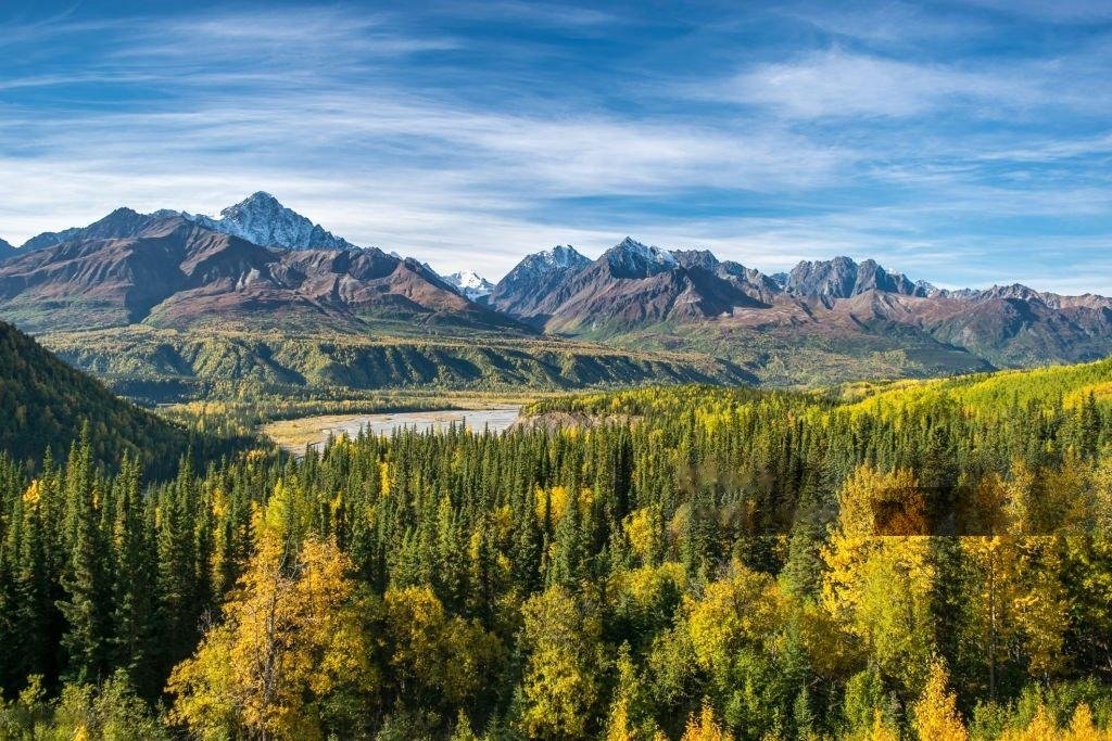
Wrangell-St. Elias National Park and Preserve, situated in Alaska, is the largest national park amongst the total national parks in Alaska, spanning 13,200,000 acres. The park boasts an array of distinctive features, including Mount Saint Elias, the highest peak in the United States and Canada, standing at 18,008 feet. Additionally, the park is home to 25% of Alaska’s glaciers, numerous volcanoes, and a diverse range of wildlife, including grizzly bears, moose, and caribou. With its rich cultural heritage and varied landscapes, Wrangell-St. Elias National Park and Preserve offers a unique and fascinating destination for outdoor enthusiasts and nature lovers alike.
Location of Wrangell St.Elias

Wrangell-St. Elias National Park and Preserve is located in the state of Alaska, United States. Specifically, it is situated in the southeastern part of Alaska, near the Canadian border. Here’s a more detailed overview of the park’s location:
- State: Alaska
- Region: Southeastern Alaska
- Nearest Cities: Copper Center, Glennallen, and McCarthy
- Bordering Regions: Yukon, Canada, to the east; Kluane National Park and Reserve, Canada, to the southeast; Glacier Bay National Park and Preserve, Alaska, to the south.

From Anchorage:
- Distance: approximately 200 miles (322 km)
- Directions: Take the Glenn Highway (AK-1) east from Anchorage to the town of Glennallen, then continue east on the Glenn Highway to the park’s visitor center in Copper Center.
From Fairbanks:
- Distance: approximately 360 miles (579 km)
- Directions: Take the Richardson Highway (AK-2) south from Fairbanks to the town of Delta Junction, then continue south on the Richardson Highway to the Glenn Highway (AK-1), and finally east on the Glenn Highway to the park’s visitor center in Copper Center.
Wrangell St.Elias span
The park spans across
| latitude | 61.5° N |
| longitude | 142.0° W |
Vehicle Access to Wrangell St.Elias National Park

Vehicle access to Wrangell-St. Elias National Park and Preserve is limited, but there are a few options:
Roads:
- McCarthy Road: A 60-mile (97 km) gravel road that connects the town of Chitina to McCarthy and the park’s visitor center. The road is open year-round, but it can be rough and requires a high-clearance vehicle.
- Glenn Highway: A paved highway that runs east-west through the park, connecting the towns of Glennallen and Copper Center. This highway provides access to the park’s visitor center and some trailheads.
Vehicle Restrictions:
- Private Vehicles: Private vehicles can drive on McCarthy Road and the Glenn Highway, but must be high-clearance vehicles due to the rough road conditions.
- RVs and Trailers: RVs and trailers can drive on the Glenn Highway, but they are not recommended on the McCarthy Road due to the rough road conditions and limited turnaround space.
- Buses and Large Vehicles: Buses and large vehicles can drive on the Glenn Highway, but may require special permits and escorts.
Shuttle Services:
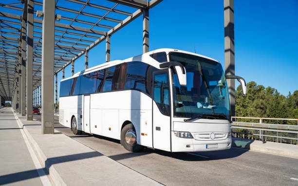
- McCarthy Shuttle: A shuttle service between Chitina and McCarthy, providing transportation for visitors who do not want to drive the McCarthy Road.
- Park Shuttle: A shuttle service within the park, providing transportation between the visitor center, trailheads, and other destinations.
The climate of Wrangel St.Elias National Park
Wrangell-St. Elias National Park and Preserve, located in southeastern Alaska, experiences a subarctic climate with extreme variations in temperature and precipitation throughout the year.
| Season | Duration | Temperature |
| Winter | December to February | Extremely cold, with temperatures often dropping below -20°F (-29°C). The average snowfall is around 100 inches (254 cm). |
| Spring | March to May | Cool, with temperatures ranging from 20°F (-7°C) to 40°F (4°C). This season sees significant snow-melt and increased daylight |
| Summer | June to August | Mild, with temperatures ranging from 40°F (4°C) to 60°F (16°C). This season offers long days, with up to 20 hours of daylight. |
| Fall | September to November | Cool, with temperatures ranging from 20°F (-7°C) to 40°F (4°C). This season sees significant snowfall and decreasing daylight. |
Camping sites
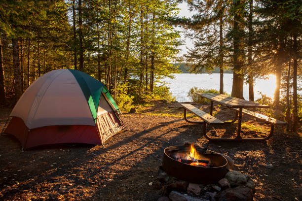
Here are the names of the camping sites:
- Kendesnii Campground
- Jumbo Creek Campground
- Donoho Basin Group Camping
- Rufus Creek Primitive Campsite
- Kettle Lake
- Dead Dog Hill Rest Area
- Rock Lake Rest Area & Camping
- Copper River Campground
- Wrangell View RV Park

Katmai National Park and Preserve
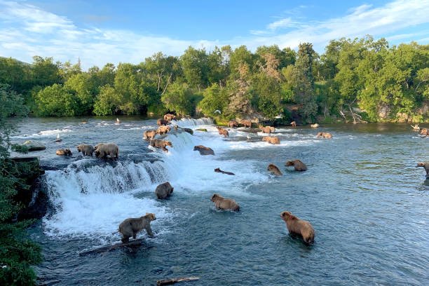
Katmai National Park and Preserve, located in southwestern Alaska, is renowned for its incredible brown bear population, with over 2,200 bears inhabiting the area. One of the park’s most iconic attractions is Brooks Falls, where bears gather to catch salmon, providing a thrilling spectacle for visitors. The park’s diverse landscape, shaped by volcanic activity, features volcanic mountains, valleys, and lakes, including the breathtaking Valley of Ten Thousand Smokes. With its rich wildlife, including moose, caribou, and wolves, and exceptional fishing opportunities, Katmai National Park and Preserve offers an unmatchable wilderness experience among Alaska’s national parks.
Location of Katmai National Park
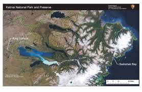
Katmai National Park and Preserve is located in southwestern Alaska, United States.
Here’s a more detailed overview of the park’s location:
- State: Alaska
- Region: Southwestern Alaska
- Nearest City: King Salmon, Alaska
- Bordering Regions: Bristol Bay to the south, the Alaska Peninsula to the west, and the Becharof National Wildlife Refuge to the north.
| Latitude | 58.5° N |
| Longitude | 155.0° W |
Here are the distances from Katmai National Park and Preserve to some nearby cities:
- Anchorage: 290 air miles (470 km)
- King Salmon: 5 air miles (8 km)
- Homer: 220 air miles (354 km)
- Seward: 340 air miles (544 km)
- Fairbanks: 570 air miles (918 km)
- Juneau: 750 air miles (1,207 km)
Vehicle Access to Katmai National Park

There is no road access to Katmai National Park and Preserve. The park is located in a remote area of southwestern Alaska, and the only ways to reach it are:
- Air: Fly into King Salmon Airport (AKN) from Anchorage or other Alaskan cities. From King Salmon, take a small plane or charter flight to Brooks Lodge or other park destinations.
- Boat: Take a boat or ferry from Homer or other coastal towns to the park’s coastal areas.
Once you arrive at the park, there are limited roads and no vehicle access to most areas.
Climate of Katmai National Park
Katmai National Park and Preserve has a subarctic maritime climate, characterized by:
| Season | Duration | Temperature |
| Summer | June to August | Cool, with temperatures ranging from 40°F (4°C) to 60°F (15°C) |
| Fall | September to October | Cool, with temperatures ranging from 20°F (-7°C) to 40°F (4°C) |
| Winter | November to March | Cold, with temperatures ranging from 0°F (-18°C) to 20°F (-7°C) |
| Spring | April to May | Cool, with temperatures ranging from 20°F (-7°C) to 40°F (4°C) |
Camping Sites of Katmai National Park
Here are the names of the camping sites:
- Brooks Camp Campground
- Savonoski River Campsite
- Igiugig Campsite
- Kukaklek Lake Campsite
- Naknek Lake Campsite
- Fure’s Cabin Campsite
- Battle Creek Campsite
Lake Clark National Park
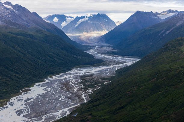
Lake Clark National Park and Preserve, located in southwestern Alaska, is a vast and remote wilderness area known for its exceptional natural beauty and diverse wildlife. The park’s stunning landscape features a mix of glaciers, mountains, volcanoes, and lakes, including the majestic Lake Clark, which is surrounded by towering peaks and offers breathtaking scenery. With its rich cultural heritage and abundant wildlife, including bears, moose, caribou, and Dall sheep, Lake Clark National Park and Preserve provides a unique and unforgettable experience for visitors.
Location of Lake Clark National Park
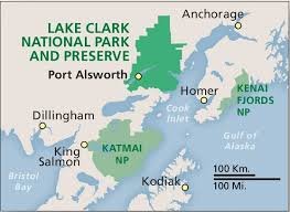
Lake Clark National Park and Preserve is located in southwestern Alaska, United States.
Specifically, the park is situated:
- State: Alaska
- Region: Southwestern Alaska
- Nearest City: Port Alsworth
- Bordering Regions: The park is bordered by the Neacola Mountains to the west, the Chigmit Mountains to the south, and the Kijik Mountains to the east.
| Longitude | 153.4593° W |
| Latitude | 60.9626° N |
Vehicle Access to Lake Clark National Park

There is no road access to Lake Clark National Park and Preserve. The park is located in a remote area of southwestern Alaska, and the only ways to reach it are:
- Air: Fly into Port Alsworth Airport (PTA) from Anchorage or other Alaskan cities.
- Boat: Take a boat or ferry from nearby towns, such as Homer or Kenai.
- Charter Flights: Book a charter flight from Anchorage or other nearby towns to Lake Clark National Park.
Climate of Lake Clark National Park
Lake Clark National Park and Preserve has a subarctic climate, characterized by:
High precipitation: Average annual rainfall of 30-40 inches (76-102 cm), with significant snowfall in winter
Low humidity: Average relative humidity of 60-80%
Short growing season: Only 100-150 frost-free days per year
| Winters | November to March | Average temperatures ranging from -20°F to 10°F (-29°C to -12°C) |
| Summers | June to August | Average temperatures ranging from 40°F to 60°F (4°C to 15°C) |
Camping Sites of Lake Clark National Park
Here are the names of the camping sites:
- Hope Creek Primitive Campground
- Port Alsworth Campground
- Joe Thompson Cabin
- Priest Rock Cabin
- Chinitna Bay Campground
- Telaquana Lake Campground
Glacier Bay National Park
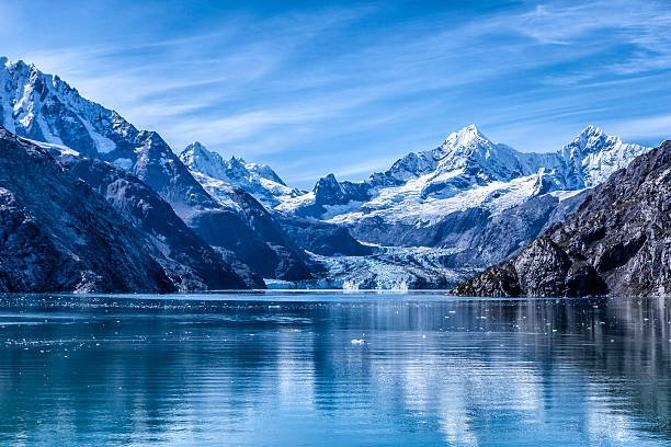
Glacier Bay National Park and Preserve is a stunning national park in southeastern Alaska, known for its breathtaking glaciers, fjords, and mountains. The park features over 1,000 glaciers, including seven tidewater glaciers, and is home to a diverse range of wildlife, including bears, moose, and eagles.
Location of Glacier Bay National Park
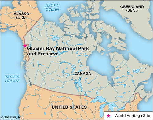
Glacier Bay National Park and Preserve is located in southeastern Alaska, United States. Specifically:
- State: Alaska
- Region: Southeastern Alaska
- Nearest City: Juneau (approx. 60 miles/97 km northwest)
| Longitude | 58.5°N |
| Latitude | 137.5°W |
Vehicle Access to Lake Clark National Park
There is no road access to Lake Clark National Park and Preserve. The park is located in a June to August, remote area of southwestern Alaska, and the only ways to reach it are by:
- Air: Fly into Port Alsworth Airport (PTA) from Anchorage or other Alaskan cities.
- Boat: Take a boat or ferry from nearby towns, such as Homer or Kenai.
- Charter Flights: Book a charter flight from Anchorage or other nearby towns to Lake Clark National Park.
Climate of Lake Clark National Park
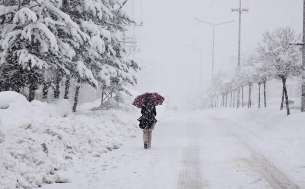
Lake Clark National Park and Preserve has a subarctic climate, characterized by high precipitation. Average annual rainfall of 30-40 inches (76-102 cm), with significant snowfall in winter.
| Summer | June to August, | Average temperatures ranging from -20°F to 10°F (-29°C to -12°C) |
| Winter | November to March | Average temperatures ranging from 40°F to 60°F (4°C to 15°C) |
The Camping sites of Lake Clark National Park

Here are the names of the camping sites:
- Hope Creek Primitive Campground
- Port Alsworth Campground
- Tulchina Adventures Campground
- Joe Thompson Cabin
- Priest Rock Cabin
Kobuk Valley National Park
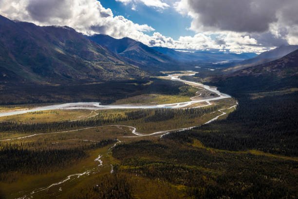
Kobuk Valley National Park is a national park in Alaska, United States, located about 25 miles northwest of the Arctic Circle. Established in 1980, the park spans 2,774,669 acres and features the Kobuk River, the Great Kobuk Sand Dunes, and ancient petroglyphs. The park is home to a diverse range of wildlife, including caribou, moose, wolves, bears, and Dall sheep, and supports a variety of vegetation, including tundra and boreal forest.
Location of Kobuk Valley National Park
Kobuk Valley National Park is located in:
- State: Alaska
- Region: Arctic region
- County: Gates of the Arctic Borough
- Nearest City: Kotzebue (approx. 75 miles/121 km northwest)
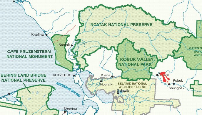
| Longitude | 67°33′N |
| Latitude | 159°17′W |
Vehicle Access to Kobuk Valley National Park
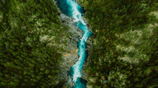
There is no road access to Kobuk Valley National Park. The park is located in a remote area of Alaska, and the only ways to reach it are:
- Air: Fly into the park’s airstrip, Kobuk Valley Airstrip (KBW), from nearby towns like Kotzebue or Fairbanks.
- River: Take a boat or raft up the Kobuk River from the town of Ambler.
Climate of Kobuk Valley National Park
Kobuk Valley National Park has a subarctic climate, characterized by low precipitation. Average annual rainfall of 10-15 inches (25-38 cm), with significant snowfall in winter.
| Winter | October to April | Average temperatures ranging from -20°F to 0°F (-29°C to -18°C) |
| Summer | June to August, | Average temperatures ranging from 40°F to 60°F (4°C to 15°C) |
Camping Sites of Kobuk Valley National Park

Here are some camping sites in Kobuk Valley National Park:
- Onion Portage Campground
- Sand Point Campground
- Kobuk Valley Campground
Gates of the Arctic National Park and Preserve
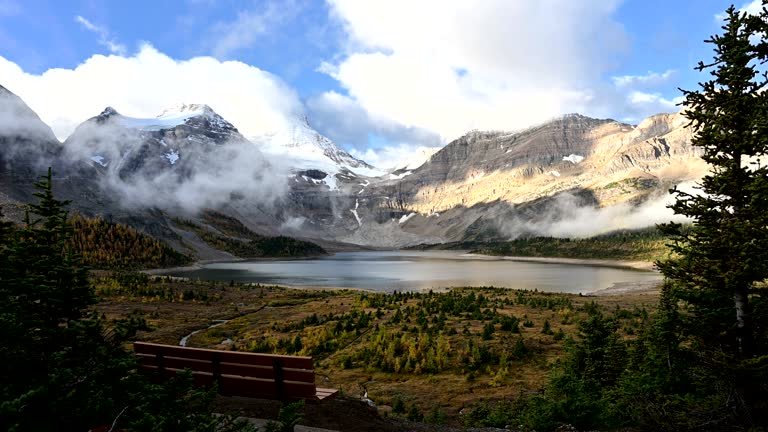
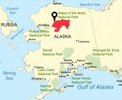
Gates of the Arctic National Park and Preserve is a national park in Alaska, United States, and is the northernmost national park in the country. Established in 1980, it spans 13,238,000 acres and features the Brooks Range, Alatna River, John River, Arrigetch Peaks, and the Gates of the Arctic mountain pass. The park is home to a diverse range of wildlife, including caribou, grizzly bears, wolves, Dall sheep, and moose, and supports a variety of vegetation, including tundra and boreal forest.
Location of Gates of the Arctic National Park

Gates of the Arctic National Park and Preserve is located in:
- State: Alaska
- Region: Arctic region
- County: North Slope Borough, Yukon-Koyukuk Census Area, and Northwest Arctic Borough
- Nearest City: Fairbanks (approx. 200 miles/322 km southeast)
Vehicle Access to Gates of Arctic National Park

There is no road access to the Gates of the Arctic National Park. The park is located in a remote area of Alaska, and the only ways to reach it are:
- Air: Fly into the park’s airstrip from nearby towns like Fairbanks or Bettles.
- Foot: Hike into the park from the Dalton Highway (near Cold-foot or Wiseman) or the village of Anaktuvuk Pass.
The climate of The Gates of Arctic National Park
The Gates of the Arctic National Park has a subarctic climate, characterized by:
| Winters | October to April | Average temperatures ranging from -20°F to -50°F (-29°C to -45°C) |
| Summers | June to August | Average temperatures ranging from 40°F to 60°F (4°C to 15°C) |

- Low precipitation: Average annual rainfall of 10-15 inches (25-38 cm), with significant snowfall in winter
- Limited daylight: During the winter months, the park experiences almost complete darkness, while in the summer, the sun remains above the horizon for 24 hours.
Camping Sites of Gates Of Arctic National Park
Here are some camping sites in Gates of the Arctic National Park:
- Noorvik Camp: Located near the Noorvik River
- Arrigetch Valley Camp: Located in the Arrigetch Valley
- Alatna River Camp: Located along the Alatna River
- Takaho River Camp: Located near the Takaho River
- Gates of the Arctic Camp: Located near the Gates of the Arctic mountain pass
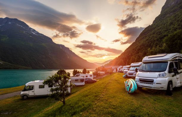
Note: The park does not have developed campsites or facilities. Visitors must be experienced in wilderness camping and prepared for remote, primitive conditions.


