


")
The Alaska Earthquake Center reported steady seismic activity across the state over the past week, recording around 800 earthquakes. According to the center, six of those quakes were felt by residents, with the strongest measuring magnitude 5.8 on January 24, south of Great Sitkin Island in the Aleutians.
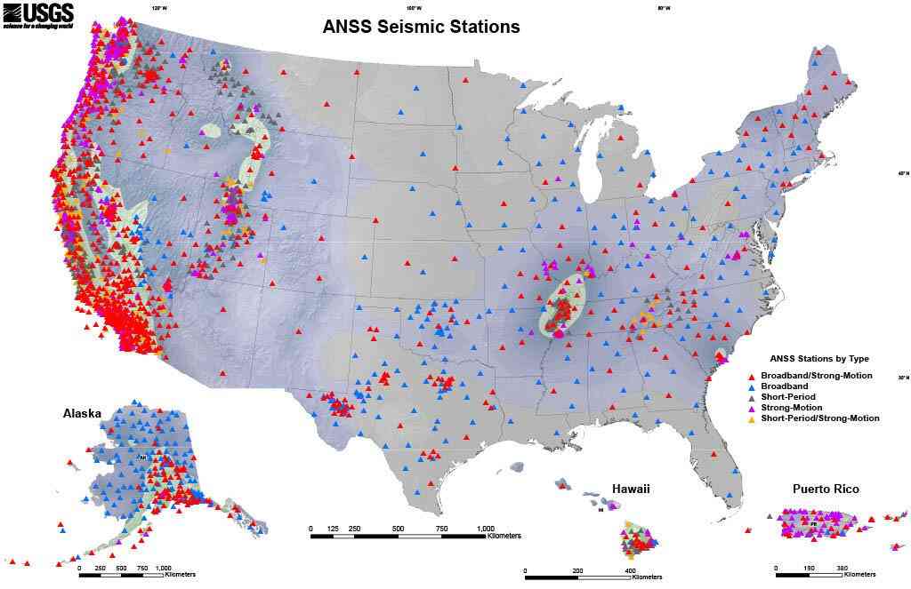
While the Earthquake Center’s primary focus is on monitoring seismic activity within Alaska, its work plays a much larger role at the national level. The center is part of the Advanced National Seismic System (ANSS), a nationwide network comprising 15 regional seismic monitoring groups that coordinate with the U.S. Geological Survey (USGS).
Through this system, earthquake data collected in Alaska contribute to real-time situational awareness for emergency managers, researchers, and federal agencies nationwide. The information also supports the creation of USGS national seismic hazard maps, which help guide infrastructure planning and engineering standards designed to withstand strong ground shaking.
Beyond hazard mapping, the data is widely used in scientific research to better understand how earthquakes occur and how seismic energy moves through the Earth. Engineers also rely on this information when designing critical infrastructure such as bridges, pipelines, and public facilities.
ANSS also establishes performance standards for regional seismic networks, ensuring that earthquake information is accurate, timely, and collected using modern monitoring techniques. Together, the system forms the backbone of earthquake hazard monitoring in the United States.
More information on Alaska’s seismic activity and national monitoring efforts is available at earthquake.alaska.edu and usgs.gov.